Time required:
to reach asangaon/shahapur - from mumbai to asangaon by local train is about 1:30 - 2:00 hrs, by road from mumbai to shahapur is abt the same,
to reach mahuli village from asangaon/shahapur - 1 hour by walking, about 20 - 30 minutes by auto rickshaw.
to trek from mahuli village to mahuli fort - between 2 and 2:30 hrs.
Height: 835 metres (2785 feet), highest point in thane district.
Trekking experience required: this can be a beginner level trek, since its quite easy with no patches and also takes a short time.
Fitness required: moderate level of fitness without injury or sickness.
Fear factor: most of the trek is along mountain paths with safe gradients, however there r some areas along the path where one has to walk along narrow ledges overlooking steep cliffs and sheer drops on either one or both the sides of the ledge. extra caution is to be taken while negotiating those.
trek story:
part 2 of our trekking expeditions brought us to the strategically important fort of mahuli, which was under the control of the great shivaji's father shahaji raje. the marathas cud control the trade route between kalyan, the port city of those times and interior maratha powerhouses like pune. it was also a defensive bastion for interior maharashtra from invaders from the coast. the reason for choosing this trip was its extreme proximity from our homes. 30 minutes of commute, thats it. it was a sunday trip so we had to make sure that we wud come back the same day and attend work the next day.
first we commuted to asangaon by train:
the best part of this trek was the extremely short distance that we had to travel to get to asangaon. the three of us decided to board the same train and the same coach. yogesh from dombivli, nikhil from kalyan and i from shahad. we managed to do that, all of us on train by 5:40 am. the commute was along a really picturesque route, presenting mountains covered in greenery hiding the valley of the kalu river amidst them. asangaon is 30 km away and a half an hour commute from shahad. stations r far and few in between, so the train just blasted through the rails at top speed and reached asangaon on time and alighted there at around 6:10 am. then we had some crisp toast and tea at a small shop that managed to open so early.
next we went to mahuli village:
just above the tracks that continue from asangaon on their way to the north of the country, the National Highway 3 stretches across on a wide flyover, from which a small road branches off towards the hilly regions. we walked along the tracks, scaled upto the highway along a narrow embankment which kept the road above the tracks. then we crossed onto the other side of the highway and were on our way to mahuli by taking the branching road. although this road ends abruptly in the mahuli village, the boards along this road dont seem to boast about this beautiful trek, instead they talk about a temple by the name of "manas mandiram". we got to know that it was a jain temple. it started 10 years ago, but its popularity only rose during the last 3 years.
along the way, we peeled off into a path that led us to the foamy water of what we think is the kalu river.
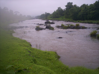
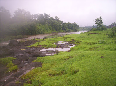
after washing our faces we continued along the original road towards mahuli.
we had to stop at a checkpoint where trekkers to mahuli have to pay Rs. 20 per head and obtain a gate pass to continue on, something like toll payment, but also for people who come walking here like us, not just vehicles. we paid up the amount, collected the receipt and moved on. along the way, we saw a dam which controlled water inlet to the tansa lake, one of the lakes which makes this area politically very powerful, bcoz this lake is one of the 7 lakes that supply water almost all over north west maharashtra, including mumbai city itself.
the general picture was that of greenery. lush green fields, mountains covered with green trees, capturing grey rainy clouds on their tops. it was almost like what they show in movies and tourist postcards or discovery channel. but throughout we had a problem where our camera just couldnt snap past the mist and we ended up having really cloudy photos. we have decided to return to this trek sometime around november so that we cud return to spots where rain and slippery paths kept us out.
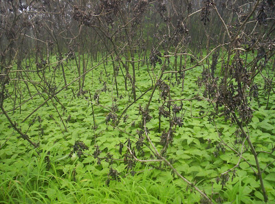
the beautiful mahuli village gave way to the trekking path. this trekking path is frequented by trekkers and some of them have marked the path nicely in a sequence of white arrows over selected rocks, so its difficult to get lost on this trek. we noticed a lot of crabs along the path, crabs in an assortment of colours which i dont think i will ever get the RGB combinations of. and there were a lot of snails as well. this was peak of monsoon and it was evident from the flora and fauna around.

to announce the peak of monsoon, the next thing we had to negotiate along our path was a roaring rivulet with a really powerful current, swelling with the overnight rain. i swear we cud have gone white water rafting in this one. we spotted rocks along the way, which cud carry us to the other side without us having to step into the massive currents.
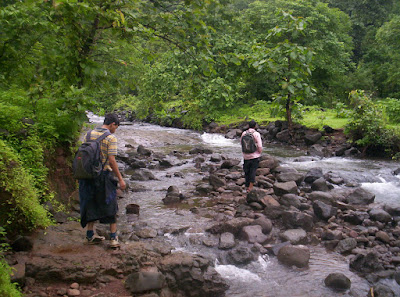
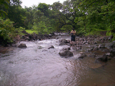
somehow we reached the other side, where tell tale signs of ascent began. along the path we cud see a stone staircase leading to the fort at the top. the structure of the stairs told us that they were part of the original design of the fort. of course the majority of the stairs r now covered under rocks and mud after all these centuries.
we trekked blissfully to the fort:

the trek was completely blissful with the usual mountain winding paths. one thing that was happening quite a lot that day was the rain clouds blocking and clearing the path like playing hide and seek. this happens quite a lot on sahyadris during the rainy season bcoz the sahyadris trap and clouds with its thick tree cover. along the way we heard birds singing, monkeys hooting and brooks and waterfalls splashing. then we came across a section of path where the administrators had wedged a steel ladder into the mountain. had it not been for that ladder, this area would have needed patch climbing, thus wooing away more than 50% of the trekkers who r not comfortable with the idea of patch climbing. still, i and yogesh, adventurous that we r decided to avoid the ladder and climb the patch anyway. after a lot of slipping and slider we decided to set aside our risky appetite and sheepishly went up the ladder after having wasted 10 minutes !!! another two climbs later, we came across a rectangular hole carved into the ground with staircase leading to it. this was a water cistern, used to collect rain water. the collected rain water used to serve the maratha guards during other seasons. we really cudnt see the bottom of the pit, so i think it wud have been pretty deep, at least the height of two average heighted persons. after another 5 minutes of trekking we saw fort walls and guard posts and another ten minutes later we reached the interior of the fort campus which had the famous caves.

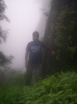
in fact a lot of trekkers come here seeking the caves and the surrounding waterfalls. but we were here to see the entire fort. a lot of trekking groups were around the caves behaving disgustingly and throwing rubbish around the place as if the caves were dustbins. both male and female trekkers were present there and behaving like drunk. we staying in the cave for hardly 15 minutes and decided to move on to see other things. by now the rain had started to pour incessantly.
cloud cover and a little scare spoils our further trekking hopes:
when we tried to see around us, to see what other things this fort had to offer besides the stone walls, the cave and the entrance, all we saw was dense cloud cover. in fact a lot of times we cudnt even see how high we were from the ground level. we wud have been about 2700 feet according to mahuli references that we found on internet, but we cudnt see the sheer drops and the depth of the ground level until the clouds cleared out some five minutes later, only to come back again.

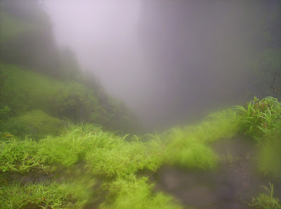
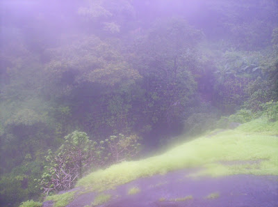
we tried to trek to other places around this fort, but had to give up after cloud and mist didnt budge for a while. also the conditions were atrocious for any sort of photography.
we did try to explore further when we uncovered a path, that we later came to know led to a portal called "Kalyan Darwaja". however the path was almost completely covered in vegetation and we had to break cobwebs of some poor unsuspecting spiders. here, yogesh taught us how to part vegetation aside with a long stick in order to look out for creatures. we continued deeper into the forested area where the vegetation kept getting thicker and thicker. it was clear that locals visit here occasionally to gather bamboo shoots, since we saw quite a lot of shoots. but on this day, this area was deserted, or so we thought, since we kept hearing strange sounds. even now we r not sure what it was, hunting creature, assassin, ghost :). but it was enough to petrify us and we returned back to the main fort. trekking around here in dense vegetation and cloud cover in this area is definitely dangerous and unpredictable. so we decided that more exploring cud wait until an encore in winter.
Descent:
the descent was not completely blissful. the skies opened up and it rained very heavily. we were shivering in the cold and wet conditions. nikhil was the worst sufferer. his hands seemed to go into a deep freeze. the numbness didnt allow him to grip properly. we were also skidding every now and then and getting twisted ankles and knees or hurt toes.
Back home:
but nothing serious happened anywhere and we reached mahuli village again. here just near the gate pass station, we had wonderful hot vada pav and tea. everything tastes gr8 after a tiring trek. then we continued to asangaon and there had some chicken soup to warm ourselves up along with fried rice. we finished in time to catch the 5:36 mumbai local train to reach home.
No comments:
Post a Comment